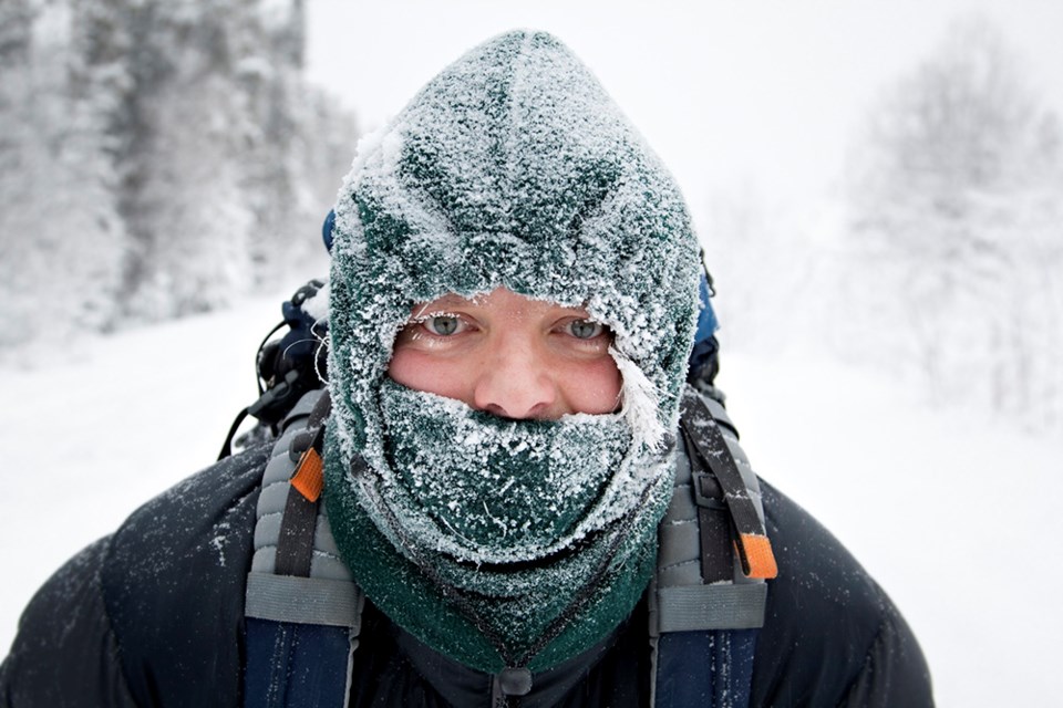
SASKATCHEWAN — Yes, it's back. The bitter cold lifted for a short time only, and extreme cold warnings have been issued again by Environment Canada for all but one area of Saskatchewan — the Pelican Narrows-Cumberland House-Creighton area.
Elsewhere, extreme cold wind chill values between minus 40 and minus 50 are expected, says Environment Canada. These extreme cold wind chill values will persist through to Friday morning for most regions.
Cold, arctic air is flooding over Saskatchewan as a ridge of high pressure builds over the Prairies.
Areas in western and central Saskatchewan reached extreme cold wind chill values of -40 overnight. Little moderation in these extreme wind chill values will be felt through the day.
As cloud over the eastern part of the province clears, communities will see their temperature drop through the day and extreme wind chill values of -40 are expected by this afternoon.
Watch for cold-related symptoms: shortness of breath, chest pain, muscle pain and weakness, numbness and colour change in fingers and toes.
Cover up. Frostbite can develop within minutes on exposed skin, especially with wind chill.
Keep emergency supplies in your vehicle such as extra blankets and jumper cables.
If it's too cold for you to stay outside, it's too cold for your pet to stay outside.


