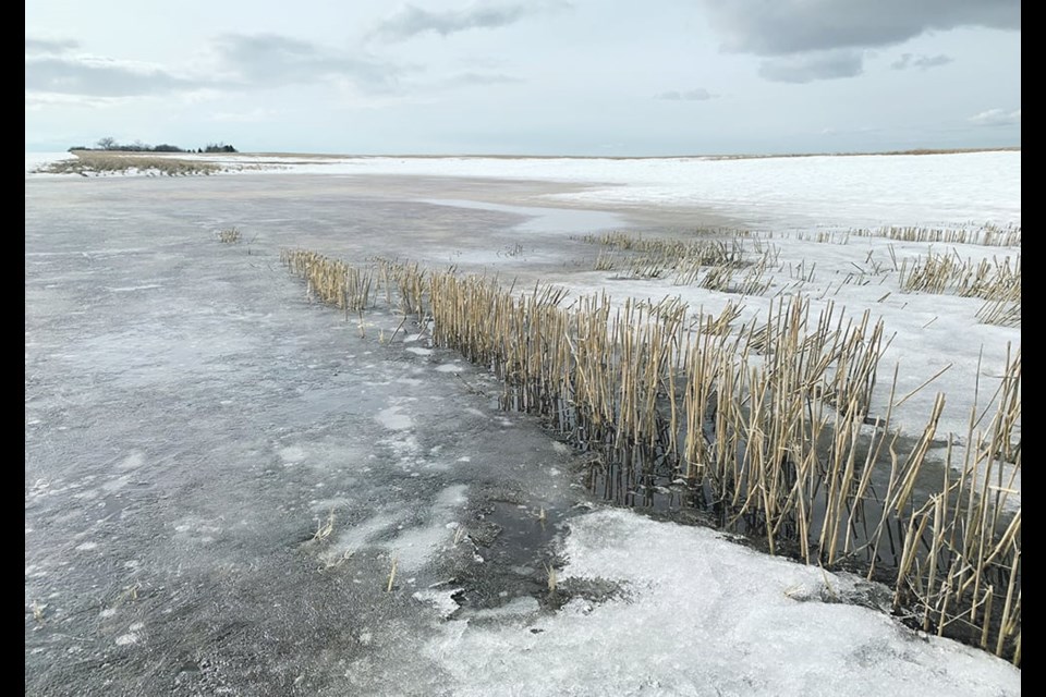
WESTERN PRODUCER — It’s only February, but preliminary runoff estimates in Saskatchewan show that drought areas from the last couple of years may face more dry conditions if there isn’t more snow and spring rain.
shows a wide swath from northwestern through central and southeastern regions with near normal snowmelt runoff expected.
However, a band in the southwest that includes the Scott, Outlook, Moose Jaw, Assiniboia, Swift Current, Leader and Kindersley areas is in the below normal runoff category. The far northeast is also below normal.
A smaller pocket that includes Maple Creek is well below normal, while the area including Eastend and Val Marie is near normal.
The report said much of the south was very dry last summer and into the fall, except an area east of Moose Jaw and including Weyburn, Indian Head and Regina, where it was wetter and with near normal snowfall.
Snowpack is above to well above normal in central regions, but flooding is not expected.
The runoff potential is based on conditions at freeze-up, snowfall to Feb. 1 and potential expected precipitation before the spring melt.
“In the western portion of the grain belt where subsoil moisture is depleted, the melt rate is expected to have a significant impact on runoff yields,” the report said.
“A slow melt will result in most of the snowpack recharging the soil column. A rapid melt is likely needed to result in more runoff to replenish surface water supplies.”
The current snowpack is insufficient to satisfy both, it said, and water supply issues will occur in the southwest unless there is more snow.
The first spring runoff forecast will be issued in early March.
Contact [email protected]


