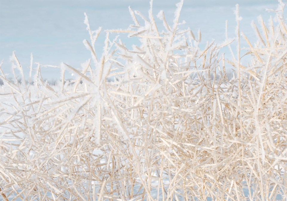
SASKATOON — Farmers in the northern Plains region of North America should keep a close eye on La Nina, says a meteorologist.
If it develops this summer as anticipated, it could bring unwelcome weather at the tail end of the growing season.
“An early frost may be possible there in the Dakotas and Minnesota,” DTN meteorologist John Baranick said during a recent Reporter’s Notebook podcast.
He said 2012 and 2020 are good analog years where a late-developing La Nina resulted in cool falls in the northern Plains, which extends into the Canadian Prairies.
However, the cool pocket of water in the tropical Pacific that is the hallmark of La Nina has been lurking about 25 metres below the ocean’s surface.
Baranick said that pocket of water needs to bubble up to the surface to trigger a La Nina.
“Over the last six months or so we’ve been just kind of waiting for it to arrive,” he said.
He believes it will still happen because La Nina events usually occur in the summer following a strong winter El Nino.
A La Nina would typically result in warmer and drier-than-normal conditions in the U.S. corn belt.
“That should lead to some pretty good fall weather here as we’re looking to finish up with the crop season and get out there and harvest,” said Baranick.
It should also result in good winter wheat planting conditions in the country’s Plains region.
However, it also might bring some unwelcome conditions.
“A lot of those areas got planted kind of late, so the crop out there may be a little later to develop and we could be having some issues with frost,” he said.
World Weather Inc. president Drew Lerner said there is still plenty of potential for a La Nina to evolve.
However, he believes it will be a “very weak” event based on an analysis of other years where a La Nina shows up following a strong El Nino that in turn followed consecutive La Nina events.
“That second round of La Nina is usually not that impressive,” he said.
Even if it was a normal La Nina, he doesn’t think that is cause for concern because it typically results in a ridge building over Western Canada that generates a lot of heat in September and October rather than cool weather.
What does worry him is the pattern that the Prairies are in right now where a cold air system seems to arrive every 45 days, with the next blast to start around Aug. 8.
That means another one could be coming in late September, which is when he sees the biggest potential for frost.
However, there’s also a chance of surprise cold snap in early September, which could prove dangerous due to the dryness in the Prairie region.
A good soaking rain in August could stave off an early frost.
“Obviously that’s important for the moisture profile, but it also puts humidity into the air and would help to hold the temperatures higher if we do get into some cooler air,” said Lerner.
There have not been too many earlier-than-normal killing frosts that caused a lot of damage in the Prairie region of late.
The last one he can recall happened Aug. 20, 2004, which was 20 years ago.
“That was devastating,” he said.
“We lost about half the crop in the eastern Prairies and the upper U.S. Midwest from that event.”
Lerner doesn’t think the lack of damaging early frosts has anything to do with climate change.
“It’s easy to sit back and say, ‘those days are over, we’re not going to see that again,’ ” he said.
“But I think that’s a very dangerous thing to say.”
He believes it has more to do with good luck and fortunate timing than anything else.
Related
About the author


